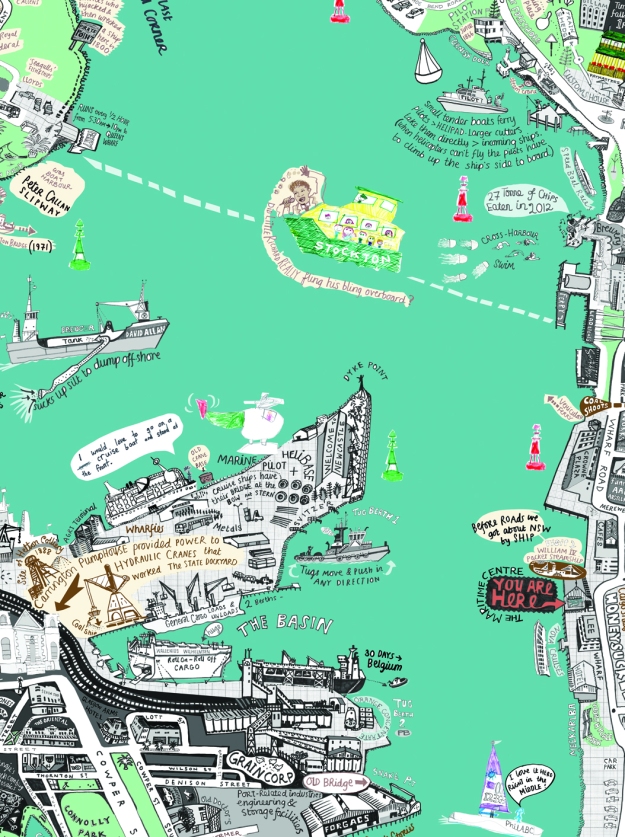
The harbour is the most exciting place to watch – whether you view it from the water or land. I find the more you look the more you want to know – what does that do and what is going to happen next? Question from the Harbour Master: Do you think it would be possible/easy to throw a ball to hit the red marker buoy nearest to Queen’s Wharf?
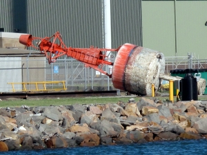
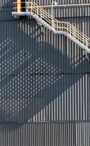
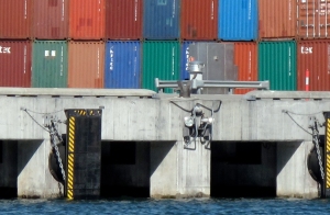
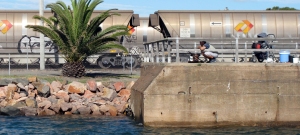
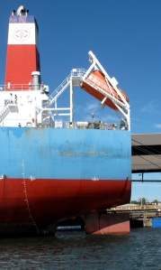
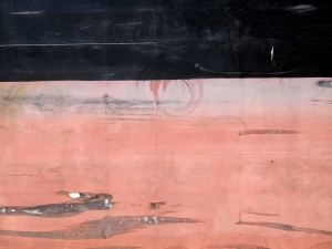
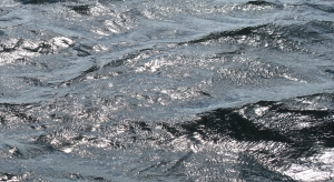
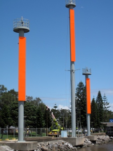
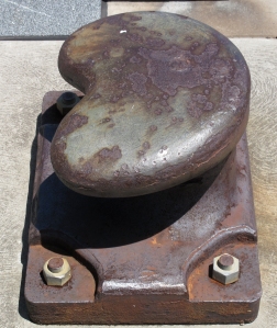
It may seem odd to have photos on a drawing blog but Liz was lucky enough to go on one of Newcastle Port Corp’s Harbour Tours on Australia Day as part of The 2013 Maritime Festival (thankfully just before the cyclone came to town). These pictures don’t have titles – Do you know what they are? Please leave your ideas of what is what. Do you have better photos you’d like to share?
Port Tour





fantastic work – love the drawings
i really love the drawings – this looks great and brings so much to the image of the city and port
I’ll ask my brother-in-law if he can help name the pics. Up until recently, he worked in the pilot’s station for decades. P.S. Love the drawings, the port never looked so good!
Top row pictures:
1. Harbour buoy (port side) under repair at West Basin or Dyke Point.
3. Containers on Mayfield 4 berth
Second row:
1. Public fishing area on the channel
2. Wharf at Dyke 4 or 5
3. Stern of ship with lifeboat
Third row:
1. Could be algal bloom
3. Coal train
Bottom row:
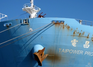
Coal ship Taipower Prosperity
Thanks so much for naming the photos. The red and black image is actually a close up of the side of one of the ships not algae. The waves shot is just the way water catches the light. I also took one in which the water is all red because it was reflecting the ship’s paint colour. Some of the big areas of colour look really abstract.